|
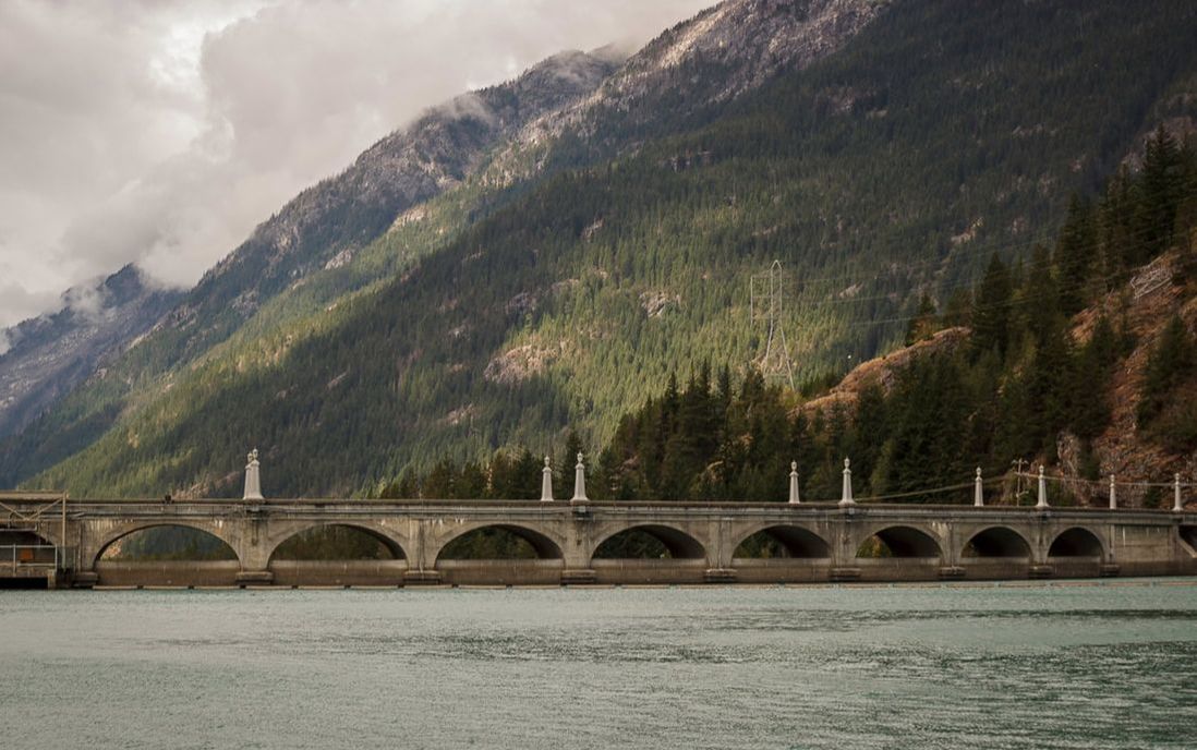
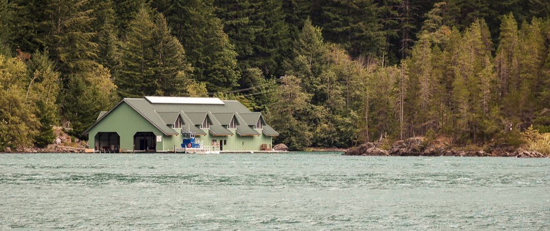
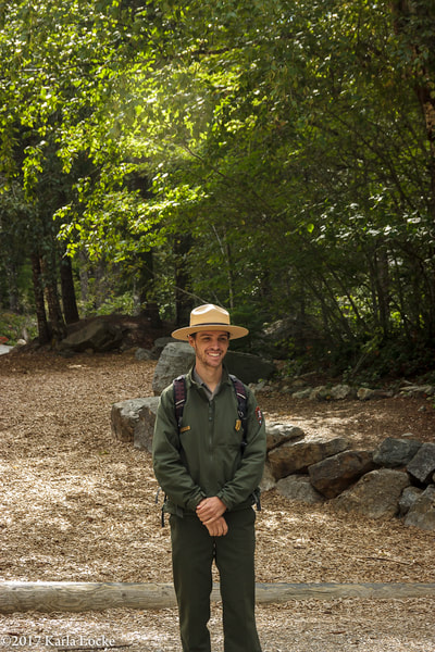
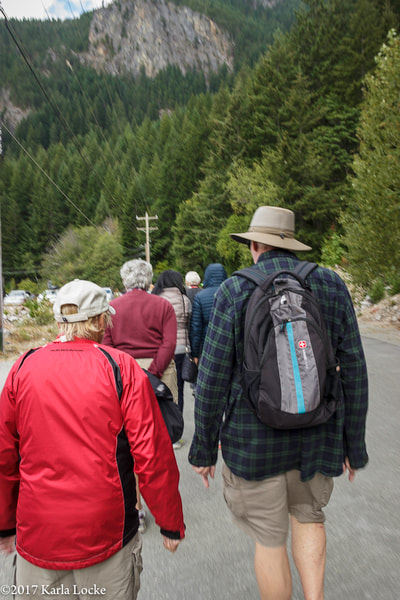
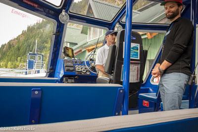
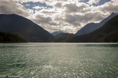
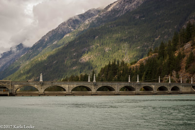
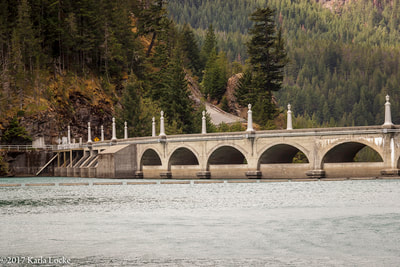
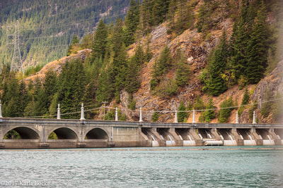
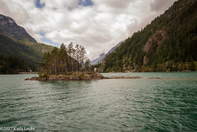
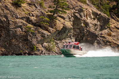
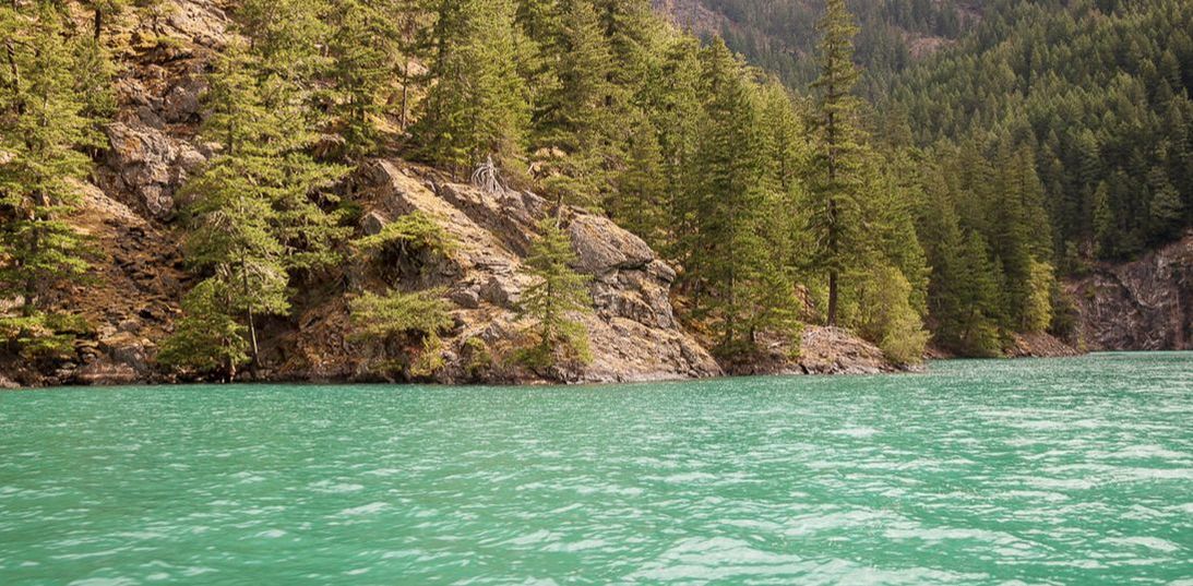
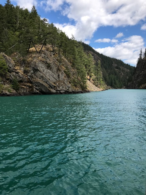
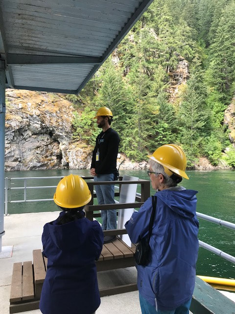
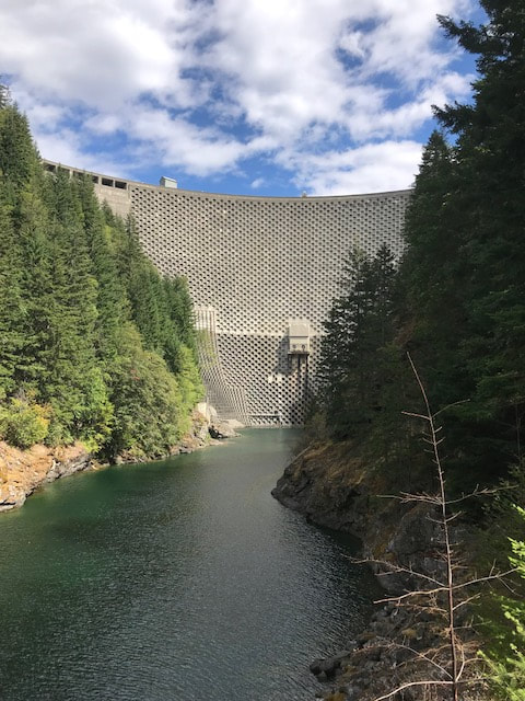
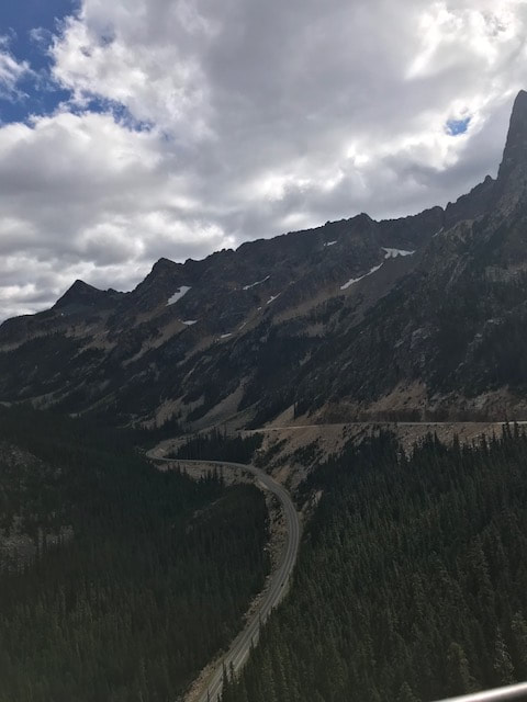
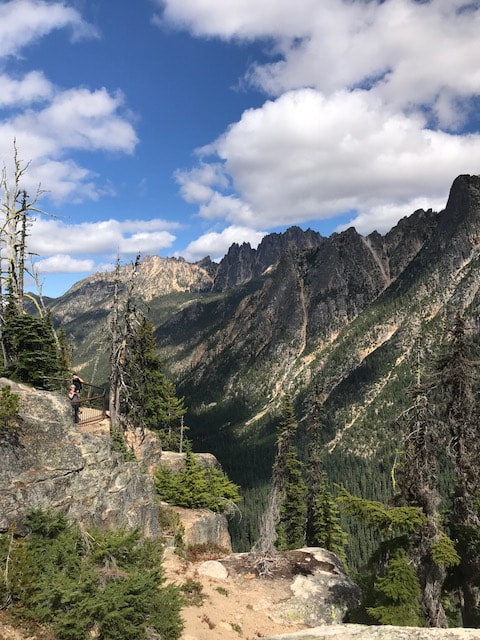
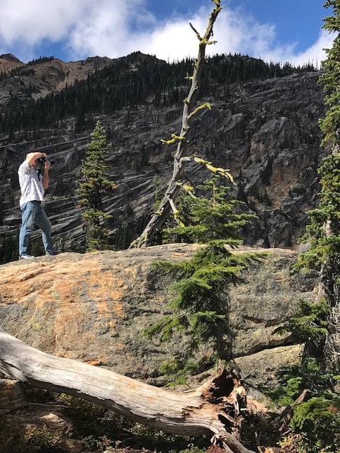
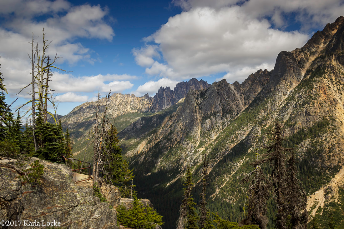
We hit the road at 8:15 a.m. The morning was cool and crisp, a touch of Fall nipped the air, a welcome relief after weeks of warm weather and smokey skies. We headed east on Hwy 20 from Anacortes, WA. With a two-hour drive ahead of us, we settled in and enjoyed the morning drive through the Skagit Farmlands as we headed to the North Cascades. Our destination, The North Cascades Institute at Diablo Lake. We had signed up for the Diablo Lake and Lunch Boat Tour. After years of driving by we were finally going to 'experience' Diablo Lake by boat and learn more about the history. To get to the Institute you drive east on Hwy 20, also known as the North Cascade Highway and the Cascade Loop. Watch for mile marker 127, shortly after you will see a sign for North Cascades Institute Educational Center telling you it is the next left. The road looks like a driveway. A little bit larger than a single lane road takes you over Diablo Dam, then park in the last parking lot. There's a short, easy hike from the parking lot to a set of buildings. Amos, a National Park Ranger greeted everyone as they signed in. There is a nice little gift shop to browse in and well maintained restrooms close by. After a brief presentation in the amphitheater, we did a short hike to the boat house. There we boarded the Alice Ross IV for our two-hour boat tour of Diablo Lake. The boat was roomy, comfortable, heated (if chilly), large outside deck, large windows, water cooler, and large restroom. With everyone on board, we were filled with eager anticipation to start our tour with our guides, Amos (National Park Ranger) and Evan (North Cascades Institute.) Amos and Evan took turns educating us about the area, the lake, the dams. Educational and entertaining we learned so much (too much to keep notes, you'll just have to take the tour) and enjoyed every minute of the tour. Evan started the tour telling us about the names of the various mountain peaks; Mt Fury, Formidable, Forbidden, Mt Terror, Desolation Peak, Devi's Dome, Devil's Elbow, Nightmare Camp, and more. We pulled up close to Diablo Dam. The dam, built in 1929-1930, at 389 it was the tallest dam in the world. We then hightailed it over to Thunder Creek, where Amos proceeded to tell us about the glaciers and how they feed the lake. Thunder Creek is fed by 52 glaciers, making it the most glaciated drainage in the lower 48 states. North Cascades National Park has 312 glaciers, making it the most glaciated park in the lower 48. Amos went on to explain 'what' a glacier is. The North Cascades receives over 400" of snow per year. Glaciers start by large patches of snowflakes that don't melt, accumulating year after year, becoming a permanent snow patch. As it grows, becomes heavy, and compresses, the air is squeezed out between snow flakes, eventually it morphs into ice. He went on to explain the Emerald Green color of the lake comes from what he called "rock flour" basically the sediment caused from lots of grinding and suspends in the water. We left Thunder Creek and took a quick ride by Deer Island and Monkey Island (you'll have to take the tour to find out why they were called that.) As we went down one of the small arms on the lake, the high walls towered over us, it was like going through a canyon. They told us that the North Cascades is the second larges biodiverse park in the country, second after the Smokies. Also the second largest watershed in the state, second after the Columbia River. We reached the power station for Ross Dam where we docked, after donning the stylish hardhats, we took a quick 15 minute tour through part of the power plant. Once the tour was over, we boarded the Alice Ross IV and headed back to the Institute where we completed a tour with a delicious lunch in the dining hall. Touring with Skagit Tours was not only educational, it was entertaining, exhilarating, exciting, and worth every moment. Visit their website for more information and to sign up. To continue our daycation and exploration, we detoured up to Rainy Pass and finally took the time to discover this hidden gem — the Washington Pass Overlook. An easy hike on a well maintained trail took us to an overlook with an incredible view of Washington Pass and the last part of the highway before you descend into the Methow Valley. Well worth the stop on the Cascade Loop.
We finalized our day trip on a drive back on the Skagit Hwy, located on the south side of the Skagit River from Concrete to Sedro Woolley instead of our usual, Hwy 20. It gave us a different view of the Skagit River, parts of the highway were lined with old trees dressed in heavy moss, canopying over the highway. All in all, it was the perfect Skagit day. After all, in the Coastal Salish language, Skagit means a Place of Refuge and after spending such a peaceful day it most certainly lived up to its name.
0 Comments
Your comment will be posted after it is approved.
Leave a Reply. |
AuthorShort Stories of passion, of life, of people. Archives
September 2019
Categories
All
|
 RSS Feed
